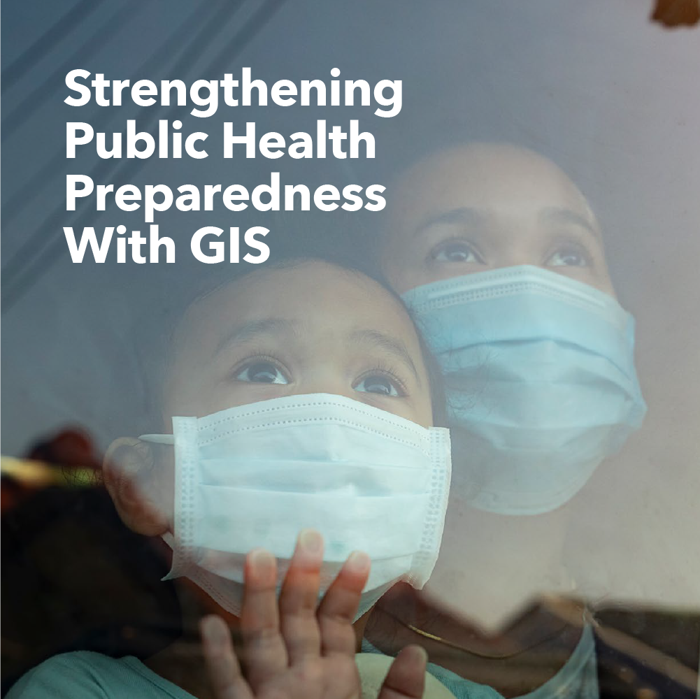
As government steps back to examine the worldwide response to the COVID-19 pandemic, now is also the time to revisit lessons learned from previous public health emergencies, such as the Severe Acute Respiratory Syndrome (SARS) outbreak, Ebola outbreak, Zika virus, and the opioid epidemic.
Geographic information systems (GIS) have often been the foundation of these response efforts, transforming data into location intelligence that provides agencies and civic leaders with valuable insights.
Get your free copy of this new report to learn how GIS can support evidence-based decision-making and public health preparedness.
Specifically, you'll explore:
- Common data requirements for public health preparedness
- Best practicies for crisis response.
- The essential role of location in managing public health emergencies.
 New Report | 10-Minute Read Time


