Download the new report to learn how:
- GIS creates the foundation for states to become smart.- Iowa uses real-time data to improve snowplow information.
- GIS helped California coordinate resources during the wildfires.
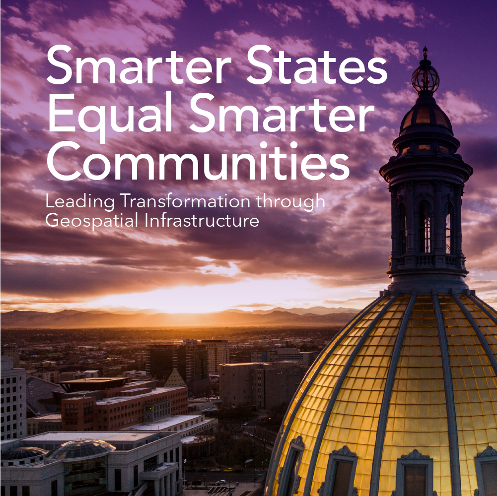
All across the nation, government and community leaders are working to improve the lives of their residents. This means doing everything from growing their economies to improving the quality of life for their citizens to shoring up a community’s resiliency.
But achieving the full potential of this vision can often be challenging for state and local governments. Data needed to make smart decisions and deploy these efforts often resides in silos or is only being addressed within one department.
In our new report, we explore how GIS can help states become smart states that make data-driven decisions, maintain constant awareness and stay connected by using technology and pioneering innovation.


