Get the Report Now
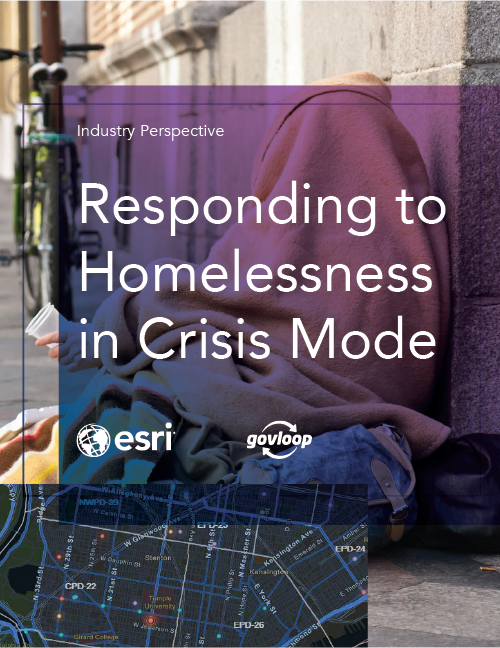
State and local government leaders recognize that the plight of individuals experiencing homelessness has become a crisis that needs to be quickly addressed.
That’s why many agencies are including geographic information systems (GIS) to their strategies. GIS allows organizations to effectively track and deploy resources like clinics, job programs, mental health counseling, shelters and food distribution centers using a location-based strategy.
In this report, we explore how a common, location-based framework can enable organizations to effectively monitor and combat homelessness across communities.